


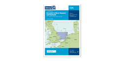


Imray ID30 Raymarine MSD
Artikelnummer
16ID30RM
3-4 werkdagen levertijd
€ 89,95
€ 117,50
Imray ID30 Raymarine MSD
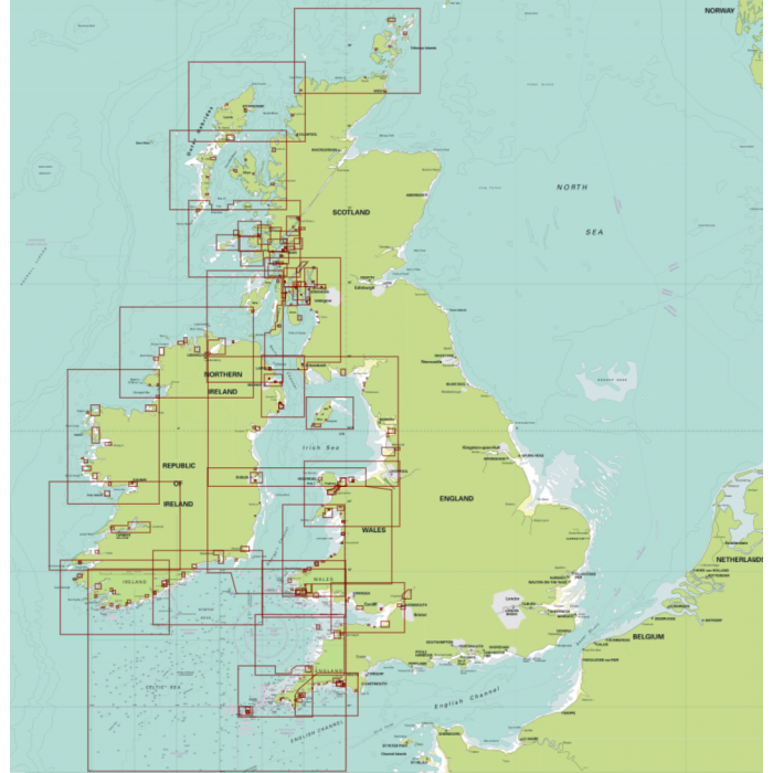
Raymarine Digital Chart Pack ID30
Bevat de Westkust van Groot Brittanie en Ierland en wordt geleverd op een micro SD kaart.
De volgende zeekaarten van Imray zijn opgenomen:
Charts C6, C7, C180, C51, C52, C53, C54, C55, C56, C57, C58, C59, C60, C61, C62, C620, C63, C64, C65, C66, C67, C68, C69, Y70, 2400.3, 2400.6, 2400.11, 2400.12, 2400.13, 2400.14, 2600.11, 2800.2, 2800.3, 2800.4, 2800.5, 2800.6, 2800.7, 2800.8, 2800.9, 2800.10, 2800.11, 2900.2, 2900.3, 2900.4, 2900.5, 2900.6
Updated quarterly, Imray Digital Charts use raster images. This means that they correspond exactly to the equivalent Imray paper charts. Each digital chart pack is geo-referenced and quilted to zoom and pan smoothly among hundreds of the equivalent Imray paper charts for that area. In addition, Imray’s acclaimed large scale harbour plans, also found on the paper charts, usefully provide all necessary information in one place.
Based on the latest licensed Hydrographic Official surveys alongside information supplied by experts, local sources and experienced mariners such as Rod Heikell in the Mediterranean and Don Street Jr. in the Caribbean, Imray charts are meticulously edited by our skilled cartographers.
Carefully plotted and edited scales enable navigators to plot courses between destinations with the minimum number of chart sheets. Reflecting our long experience and knowledge of the navigator’s requirements, they offer more intelligent schemes than other series where official data has been reformatted and forced into the page.
Thorough editing ensures that only the information useful to small craft navigation is presented, avoiding clutter. Shore side detail is included, but only where useful for navigators.
Use of IMO approved signs and symbols. Imray digital charts may be used alongside official charts.
For current users of Imray charts, the colour scheme will be familiar. For new users, our chart colours are logical- blue for sea, green for land, drying depths in yellow and white.
Approved for use on small craft by the UK’s Maritime and Coastguard Agency.
Imray charts have been awarded official MCA (Maritime and Coastguard Agency) recognition for use on code vessels and fishing vessels under 24m in length.
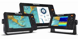
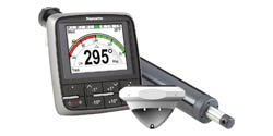
Imray Digital Charts for Raymarine are compatible with Lighthouse II Raymarine Plotters
| Artikelnummer | 16ID30RM |
|---|---|
| testdave5 | 0,00 |
Advies nodig?
Verzenden
- Boven de € 50,- gratis verzonden.
- Imray uitgaven worden altijd gratis verzonden.
- Voor 16:00 op werkdagen besteld de volgende dag in huis.
Anderen bekeken ook