Imray 2200 The Solent Pack
Kom langs in de winkel
Beschrijving
2200 The Solent Chart Pack Wiro Bound
Selsey Bill and the Isle of Wight to Christchurch
Gegarandeerd de laaste editie en zonder verzendkosten.De 2000 serie zeekaarten van Imray zijn overzichtskaarten en detailkaarten op A2 formaat van verschillende populaire kustwateren van:
1. Nederlandse kust en de Waddenzee
2. De kustwateren van de Westzijde van Groot Brittanie.
3. Het Kanaal, zowel de Engelse als de Franse kust
4. De Thamesmonding en de Oostkust van Engeland
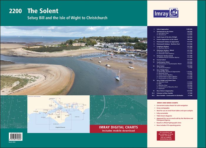
Op de cover / afbeedling van de betreffende kaartenset vindt u de editiedatum, de schaal en staan de diverse gedetailleerde havenaanlopen vermeld.
Ook staan daar alle kaarten die tot deze set behoren, met vermelding van de schaal.
Deze waterkaarten zijn ongevouwen tot A2 formaat en de afmeting is 590x420mm.
Tot er een nieuwe editie wordt uitgegeven kunt u correcties downloaden via de volgende link:
https://www.imray.com/corrections/
A convenient A2 format chart pack in a sturdy plastic wallet, with Imray Digital charts for the English Channel available to download.
This edition includes the latest official UKHO data at time of publication, combined with additional information sourced from Imray's network to make it ideal for small craft. The chart pack includes all the navigational charts and tidal data for passage, approach and mooring.
Includes plans:
2200.1 Isle of Wight
1: 100 000 WGS 84
2200.2 Christchurch to the Solent
1: 60 000 WGS 84
Plans Lymington River, Christchurch
2200.3 Eastern Approaches to the Solent
1: 60 000 WGS 84
2200.4 Chichester & Langstone Harbours
1: 35 000 WGS 84
Plans Southsea Marina, Northney Marina, Emsworth Yacht Harbour, Sparkes Marina, Chichester and Birdham Marinas
2200.5 Portsmouth Harbour & Approaches
1: 22 500 WGS 84
2200.6 Central Solent
1: 35 000 WGS 84
2200.7 Southampton Water
1: 35 000 WGS 84
Plans Continuation of Southampton Water
2200.8 West Solent
1: 35 000 WGS 84
Plans Yarmouth Harbour
2200.9 Isle of Wight Plans
Scale: various WGS 84
Plans Bembridge Harbour & Approaches, Newtown River, Cowes & River Medina, Continuation of River Medina, Continuation of River Medina (2)
2200.10 Isle of Wight & Solent Plans
Scale: various WGS 84
Plans Wootton Creek, Ryde, Beaulieu River, Continuation of Beaulieu River, Keyhaven
2200.11 River Itchen & Approaches
1: 12 500 WGS 84
2200.12 River Hamble
Scale: various WGS 84
Plans Entrance to River Hamble, River Hamble - Continuation to Burlesdon
Imray Digital Charts: Free mobile download
A voucher code to download the relevant Imray digital charts into our Imray Navigator app is included with this atlas.
Specificaties
| testdave3 | € 0,00 |
|---|---|
| Landen Europa | Verenigd Koninkrijk |
| Merk | Imray |
| Artikelnummer | 162200 |
| EAN | 9781786795816 |
| Serie | Imray Sets |
| Vaargebied | Het Kanaal |
| Taal | English |
De winkel van Vrolijk Watersport

Stap binnen in de winkel van Vrolijk Watersport
Wij zijn dé watersportwinkel van Scheveningen, gelegen in het havengebied.
Onze ruim opgezette winkel heeft een compleet assortiment voor zeil- en motorboten. Ook voor uw persoonlijke uitrusting is er veel keus. Merken als Musto, Helly Hansen, Gill, Secumar, Spinlock, Harken, Cobb, Omnia, Wichard, de IJssel, Plastimo, Talamex, Imray, NV Charts, ANWB en Nebo zijn het hele jaar op voorraad.