Imray
Imray B1 St Lucia
€ 35,50
Imray B1 St Lucia
Online
2-4 werkdagen
In de winkel
Op bestelling
Beschrijving
Imray B1 St Lucia
Gegarandeerd de laatste editie en geen verzendkosten.De A, B en D zeekaarten van Imray zijn overzichtskaarten en detailkaarten van het Caribisch gebied:
A - Puerto Rico, Virgin Islands en Leeward Islands
B - Windward Islands
D - Venezuela
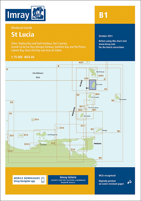
Op de cover / afbeeldling van de betreffende kaart vindt u de schaal en staan de diverse gedetailleerde havenaanlopen vermeld.
Plans included:
Rodney Bay and Yacht Harbour (1:25 000)
Port Castries (1:12 500)
Grand Cul de Sac Bay (1:15 000)
Marigot Harbour (1:7500)
Soufrière Bay and The Pitons (1:40 000)
Laborie Bay (1:20 000)
Vieux Fort Bay and Anse de Sables (1:20 000)
Imray-Iolaire charts for Caribbean are widely acknowledged as the best available for the cruising sailor. They combine the latest official survey data with first-hand information gathered over 60 years of research by Don Street Jr and his wide network of contributors. Like all Imray charts, they are printed on water resistant Pretex paper for durability, and they include many anchorages, facilities and inlets not included on official charts.
This edition includes the latest official data combined with additional information sourced from Imray's network to make it ideal for small craft. It includes the latest official bathymetric surveys. There has been general updating throughout.
Deze zeekaarten zijn gevouwen tot A4 formaat en de totale afmeting is 640x900mm.
Tot er een nieuwe editie wordt uitgegeven kunt u correcties downloaden via de volgende link:
https://www.imray.com/corrections/
Specificaties
| testdave3 | € 0,00 |
|---|---|
| Merk | Imray |
| Artikelnummer | 16B1 |
| Vaargebied | Caribisch Gebied |
Gratis én snelle verzending
Bij bestellingen boven de €50
Shop de wereld van watersport
Groot assortiment met meer dan 20.000 artikelen
Gemakkelijk retourneren
Online makkelijk geregeld
De winkel van Vrolijk Watersport

Stap binnen in de winkel van Vrolijk Watersport
Wij zijn dé watersportwinkel van Scheveningen, gelegen in het havengebied.
Onze ruim opgezette winkel heeft een compleet assortiment voor zeil- en motorboten. Ook voor uw persoonlijke uitrusting is er veel keus. Merken als Musto, Helly Hansen, Gill, Secumar, Spinlock, Harken, Cobb, Omnia, Wichard, de IJssel, Plastimo, Talamex, Imray, NV Charts, ANWB en Nebo zijn het hele jaar op voorraad.