


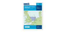


Imray G36 Marmaris to Geyikova Adasi
Artikelnummer
16G36
1-2 werkdagen levertijd
€ 35,50
Imray G36 Marmaris to Geyikova Adasi
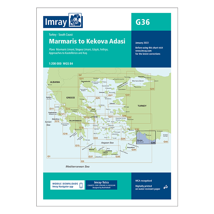
G36 Marmaris to Geyikova Adasi, Turkey - South Coast
Gegarandeerd de laatste editie en geen verzendkosten.De G zeekaarten van Imray zijn overzichtskaarten en detailkaarten van Griekenland, Turkije en Kreta:
Op de cover / afbeedling van de betreffende kaart vindt u de editiedatum.
Plans included:
Marmaris Limani (1:50 000)
Skopea Limani (1:100 000)
Göçek (1:25 000)
Fethiye (1:35 000)
Approaches to Kastellórizo and Kas (1:75 000)
Imray-Tetra charts for the Ionian and Aegean are widely acknowledged as the best available for the cruising sailor. They combine the latest official survey data with first-hand information gathered by Rod and Lucinda Heikell. The chart is designed to be used alongside Imray pilot guides of the area. Like all Imray charts, they are printed on water resistant Pretex paper for durability, and they include many anchorages, facilities and inlets not included on official charts.
This edition includes the latest official data combined with additional information sourced from Imray's network to make it ideal for small craft. The latest harbour developments at Göçek are included as is latest official bathymetric survey data. There has been general updating throughout.
Deze zeekaarten zijn gevouwen tot A4 formaat en de totale afmeting is 787x1118mm.
Tot er een nieuwe editie wordt uitgegeven kunt u correcties downloaden via de volgende link:
https://www.imray.com/corrections/
| Landen Europa | Griekenland |
|---|---|
| Merk | Imray |
| Artikelnummer | 16G36 |
| testdave5 | 0,00 |
| Serie | Imray G |
| Vaargebied | Middellandse Zee |
Advies nodig?
Verzenden
- Boven de € 50,- gratis verzonden.
- Imray uitgaven worden altijd gratis verzonden.
- Voor 16:00 op werkdagen besteld de volgende dag in huis.
Viewed by others